For most adults, it is hard to imagine there was a time when they couldn’t read a map. For most, making sense of a map is as automatic as recreating a scene in their minds from the dots on the page that make up a photograph.
Of course, none of the adults are born being able to make meaning from either photos or maps, but that doesn’t make it any easier to project back to the time when photos and maps were just colours and shapes on a piece of paper (or a screen- for younger adults).
In fact, the ability to “read” a map, even a very simple one, is a skill that must be learned and can require considerable time and effort. Although nearly everyone acquires the basic map reading skills by the time, they have completed the primary grades, that does not diminish the magnitude of these accomplishments for young learners.
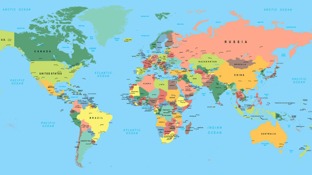
The second unit for MYP1 focused on the study of maps which was really an enjoyable one. Every student showed maximum enthusiasm, while learning this unit as they were really hooked on to this topic. The amount of inquiry that happened throughout this unit was just amazing. Students were able to make connections with present day situations where they use google maps to get from point A to point B and how maps have been so helpful to mankind. As a class task, they designed a map for their local community where they live in using symbols. The students absolutely enjoyed doing this activity.
The summative assessment was designed in such a way that students were given an opportunity to unleash their creative side. They had to design a fictional map keeping in minds the basic conventions of map making.
Some pics:
Leave A Comment