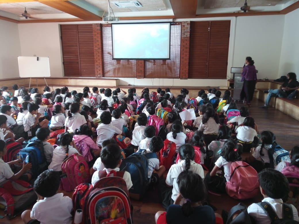
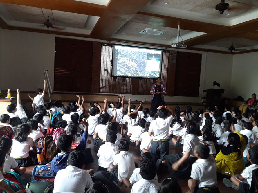
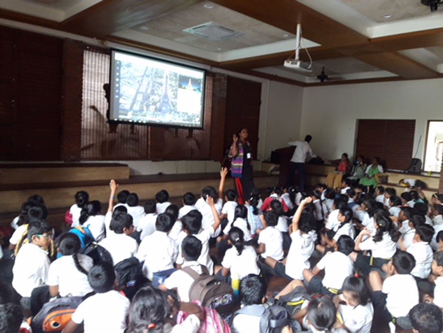
Google Earth is a computer program that renders a 3D representation of Earth based on satellite imagery. The program maps the Earth by superimposing satellite images, aerial photography, and GIS data onto a 3D globe, allowing geckos to see cities and landscapes from various angles. Geckos can explore the globe by entering addresses and coordinates by using a keyboard or mouse. The program can also be downloaded on a smartphone or tablet using a touch screen or stylus to navigate. First the physical globe was shown to the geckos. The disadvantage of physical globe is that they could not view their favorite places like The Gaudium School. SO they were taken to the technological globe that is called Google Earth. The path that was shown to them on google earth was Earth-Asia-India-Telangana-Hyderabad-Kollur-The Gaudium School-MPH. The kids enjoyed every aspect of google earth.
Google Maps is a web mapping service developed by Google. It offers satellite imagery, street maps, 360° panoramic views of streets (Street View), real-time traffic conditions (Google Traffic), and route planning for traveling by foot, car, bicycle (in beta), or public transportation. Google Maps’ satellite view is a “top-down” or “birds eye” view; most of the high-resolution imagery of cities is aerial photography taken from aircraft flying at 800 to 1,500 feet (240 to 460 m), while most other imagery is from satellites. Google Latitude was a feature from Google that lets users share their physical locations with other people. Geckos were shown the map of the route from The Gaudium School to Wonderla Water Park. All the route planning was shown with distance, alternative route, short route, long route and significance of different colors on the map.
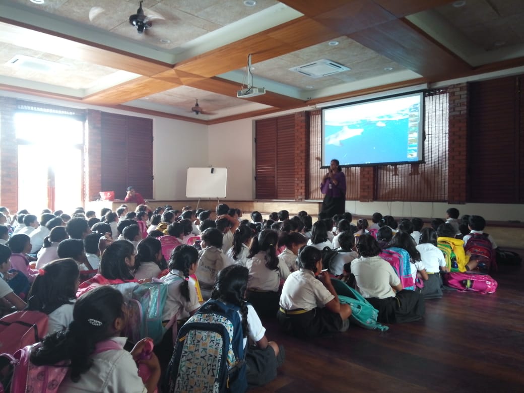
A virtual tour is usually a collection of panoramic images that are played in sequence to view like a moving video with added sound and text effects, or a virtual tour may use models in place of real-life video and images. Geckos were taken to the virtual tour of underwater sharks, inside Taj Mahal, explore pandas in the Malaysian zoo, and last but not the least the entire tower of Burj Khalifa.
The overall guest talk helped them to understand that technology has played vital role in making and learning their unit of inquiry maps and globes.
Learning outcome: as a part of their inquiry about maps and globes, the geckos were familiarised with the usage of modern technology like Google Earth that helps in creating accurate maps and globes.
Highlights:


Leave A Comment